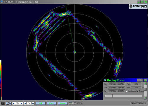
Sector scan sonars are used to provide radial coverage around a vehicle, usually for collision avoidance purposes. Their traditional display is most familiar to us as a PPI (plan position indicator or "radar-scope") format image, showing radial range and direction to targets, with strong targets showing up as "blips".
Click the image for an enlarged version.
GeoDAS supports Sector Scan sonars via GeoDAS-PPI, which allows not only control and traditional PPI display, but also full geocoding and real-time mosaicking of the sector-scan data.
To see a list of Sector Scan sonars supported by OIC products, click here.